Ekstar Map v2.0 – Map Application Displaying Geographic Information of Points for Android
Purchased version priced at $1.49
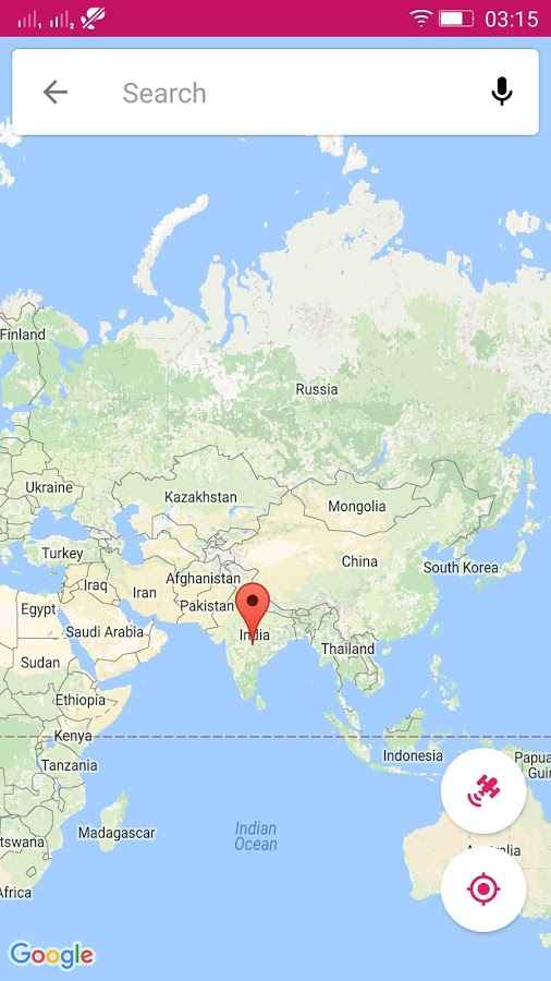
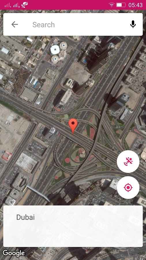
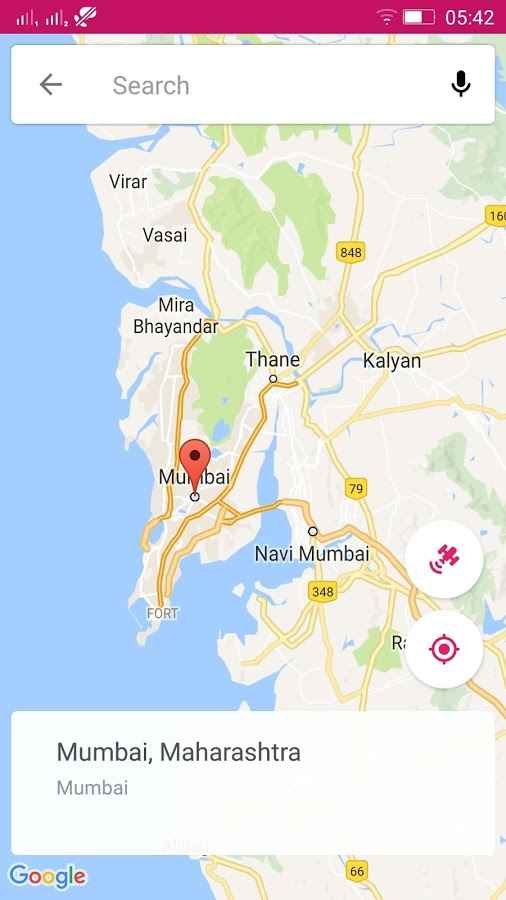
As we have mentioned many times, online maps are among the most widely used services worldwide, and various developers release their apps based on these accurate maps. Each app has specific features and capabilities that can help meet your needs. In this post, we intend to introduce a simple yet practical map app to you. Ekstar Map is a unique map for accessing and displaying geographic information of marked points on the map specifically for Android, developed by Ekstar Company and published on the major Google Play market. This map allows users to find and view the latitude, longitude, and any information related to any address. Upon first launch and viewing the Ekstar Map interface, you will realize that the developers have placed great emphasis on simplicity so that even the most beginner Android users can easily fulfill their needs. Precise routes, city names, and locations are clearly marked on the map, and zooming in on any point provides access to more information.
Some features and capabilities of the Ekstar Map Android app:
- Search for desired locations in just a few seconds
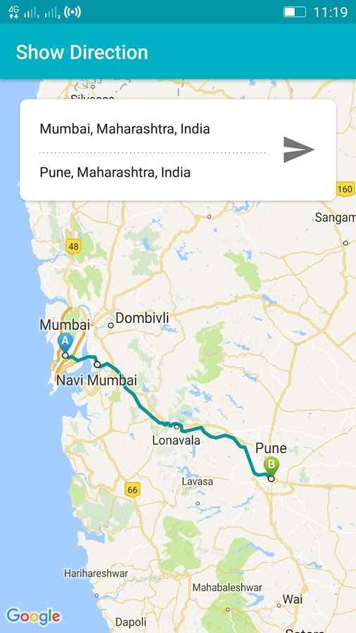
- Accurately display routes on the screen
- Show the nearest possible route between two different addresses
- Access latitude and longitude of marked points
- Very simple and intelligent user interface
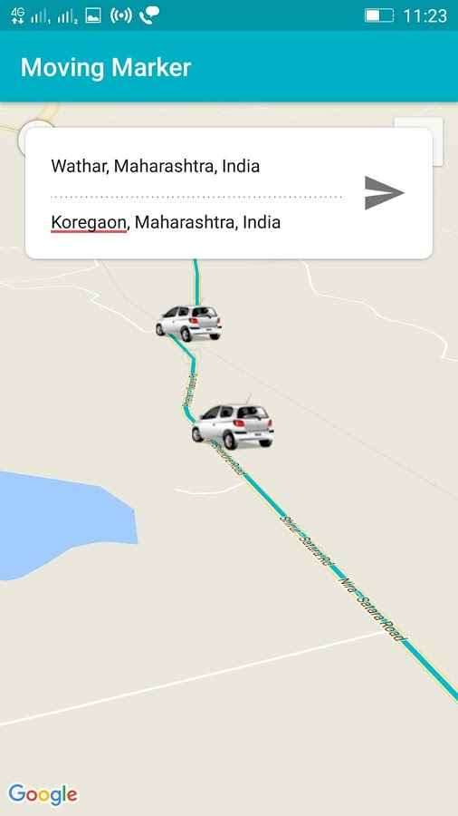
- Track all events
- Ability to move markers on the map
The Ekstar Map app has managed to receive a 4.0 out of 5.0 rating from Google Play users with its very simple and intelligent system and its $1.49 price. You can now download the latest purchased version from the major website DroidCove; this version includes all features and you can use them without any time restrictions.
Version v2.0 changes:
* Moving markers.